Mapping · Surface Scan
What lies on, under and around your site?
An industrial site mapped from the air: surfaces classified, 605 objects detected, counted and measured.
Read the case
AirScout · Professional drone services
About
More than 10 years of experience as a drone pilot, with a strong focus on safe, professional and compliant operations. Fully licensed in the Open category (A1/A3 — A2) and the Specific category (STS-01/PDRA). All operations are carried out in line with current EASA and Belgian regulations. Every assignment is handled with attention to context, safety and clear communication.
Our approach: we start from your problem and find the way to a solution, even if that way does not exist yet.

Cases
Mapping · Surface Scan
An industrial site mapped from the air: surfaces classified, 605 objects detected, counted and measured.
Read the case
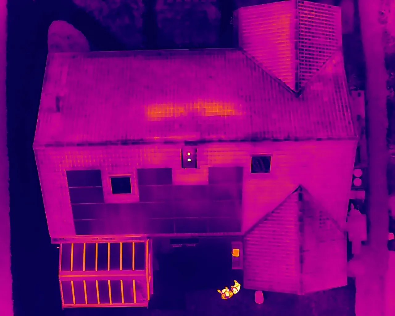
Thermal PV inspection
One flight in fixed lines across the roof, RGB and thermal at once. Hotspots and faulty strings show up long before they become a problem.
Read the case
Thermal façade scan
With 10 °C or more between inside and outside, heat loss becomes visible. Scan before the works, compare after.

3D photogrammetry
Four façade walls of a historic square, flown early in the morning around an event build-up.
Read the case
360° capture
Several tens of hectares in Brussels in a single tour, from aerial panoramas down to the historic halls inside.
Read the caseHeritage · 3D photogrammetry
A protected 14th-century keep, flown around in one flight from base to roof. The result: a measurable, georeferenced 3D model as a baseline.
Read the caseWhat we do
High-resolution visual and radiometric thermal inspections of solar parks, roofs, façades and industrial assets. Defects and anomalies located, classified and reported.
Survey-grade orthomosaics, 3D models and volume measurements with RTK accuracy.
Photo, video and 360° imagery for construction, real estate and communication.
Contact
AirScout · Rumst, Belgium